
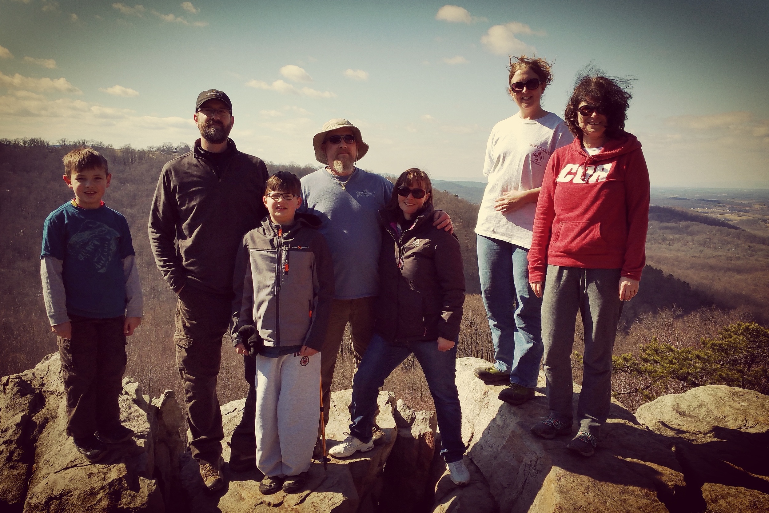
Glacier Bay, Alaska Sea Kayaking Trip 2016
MOSS-Glacier Bay, Alaska-Sea Kayaking Trip-2016
Introduction
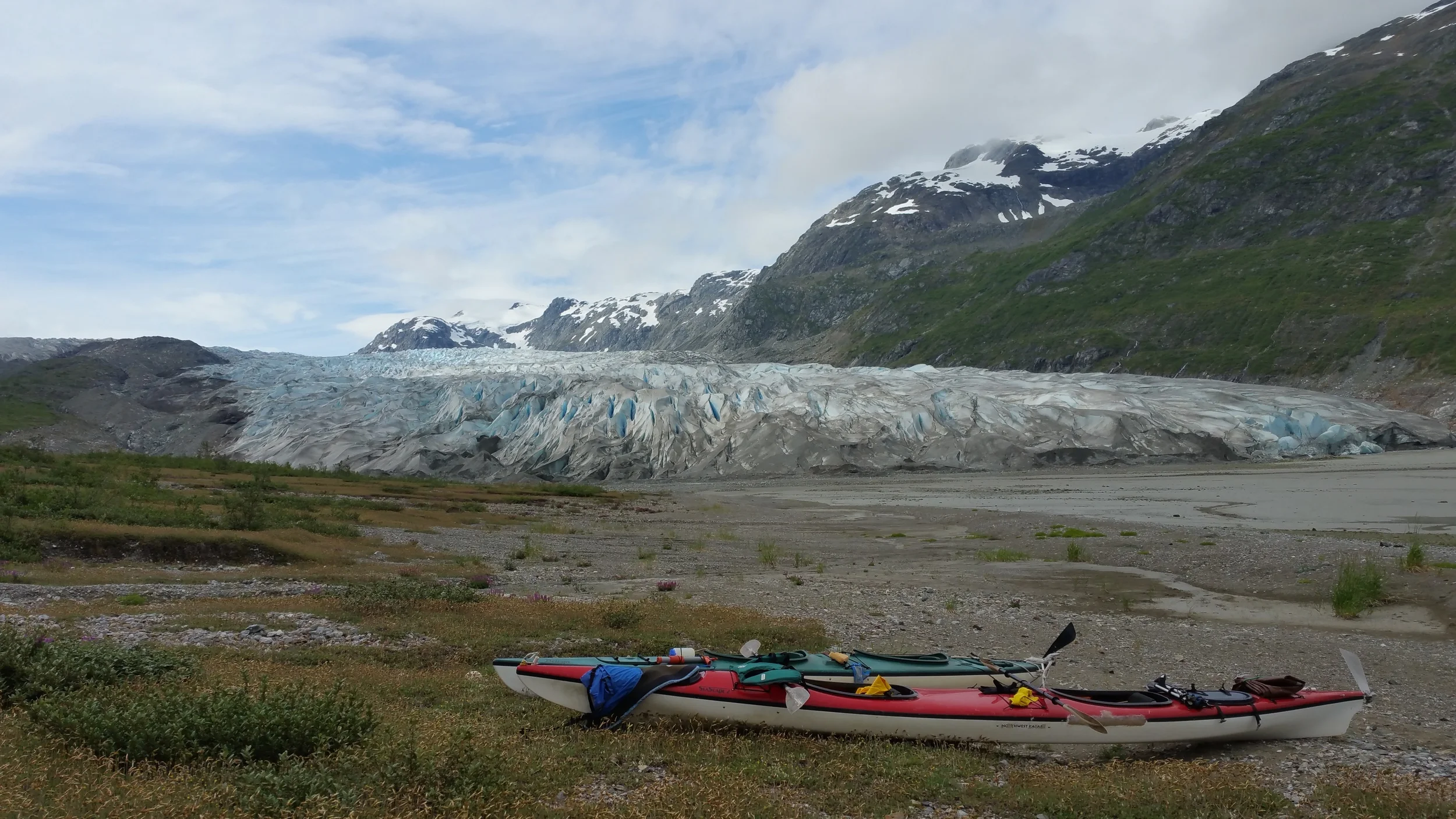
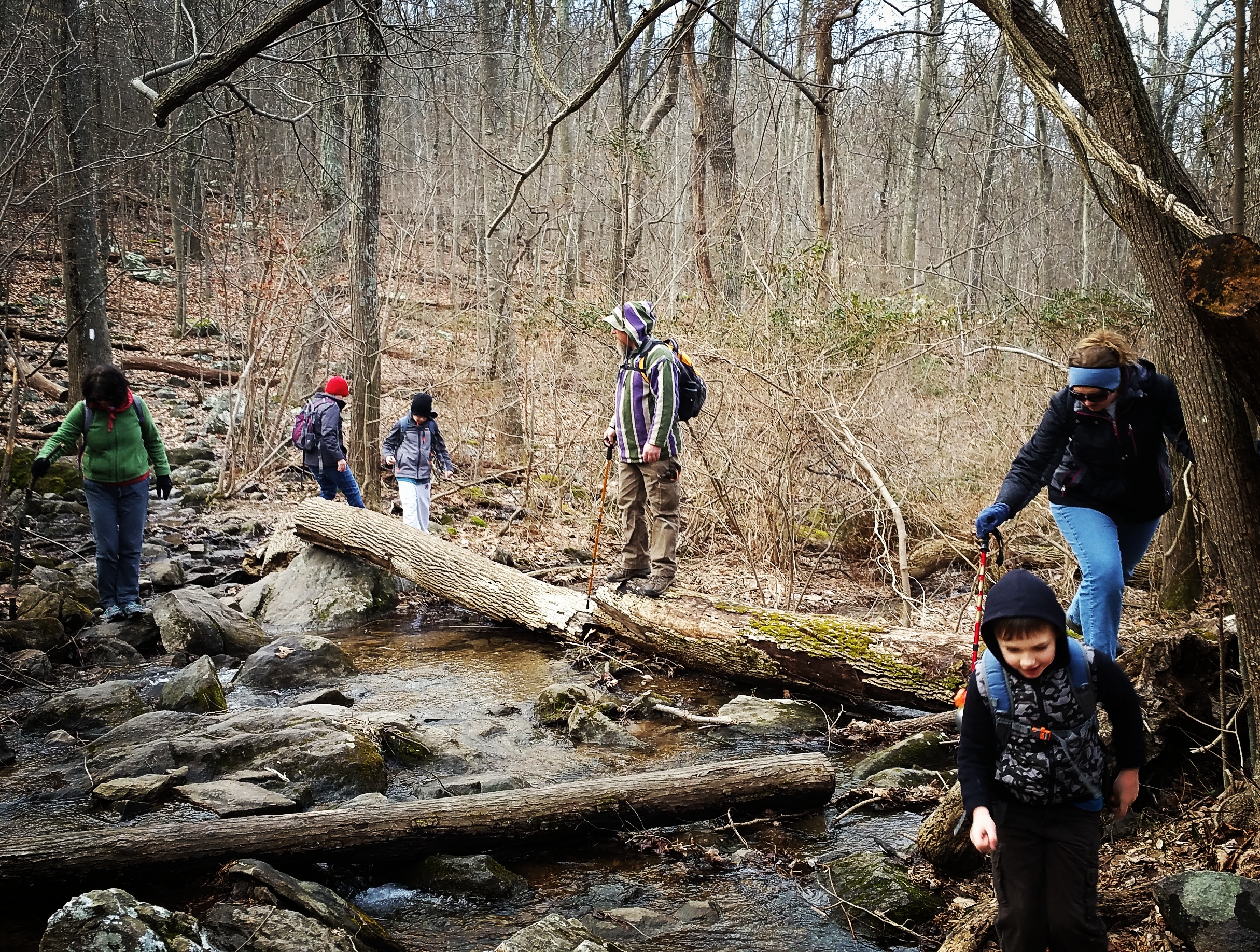
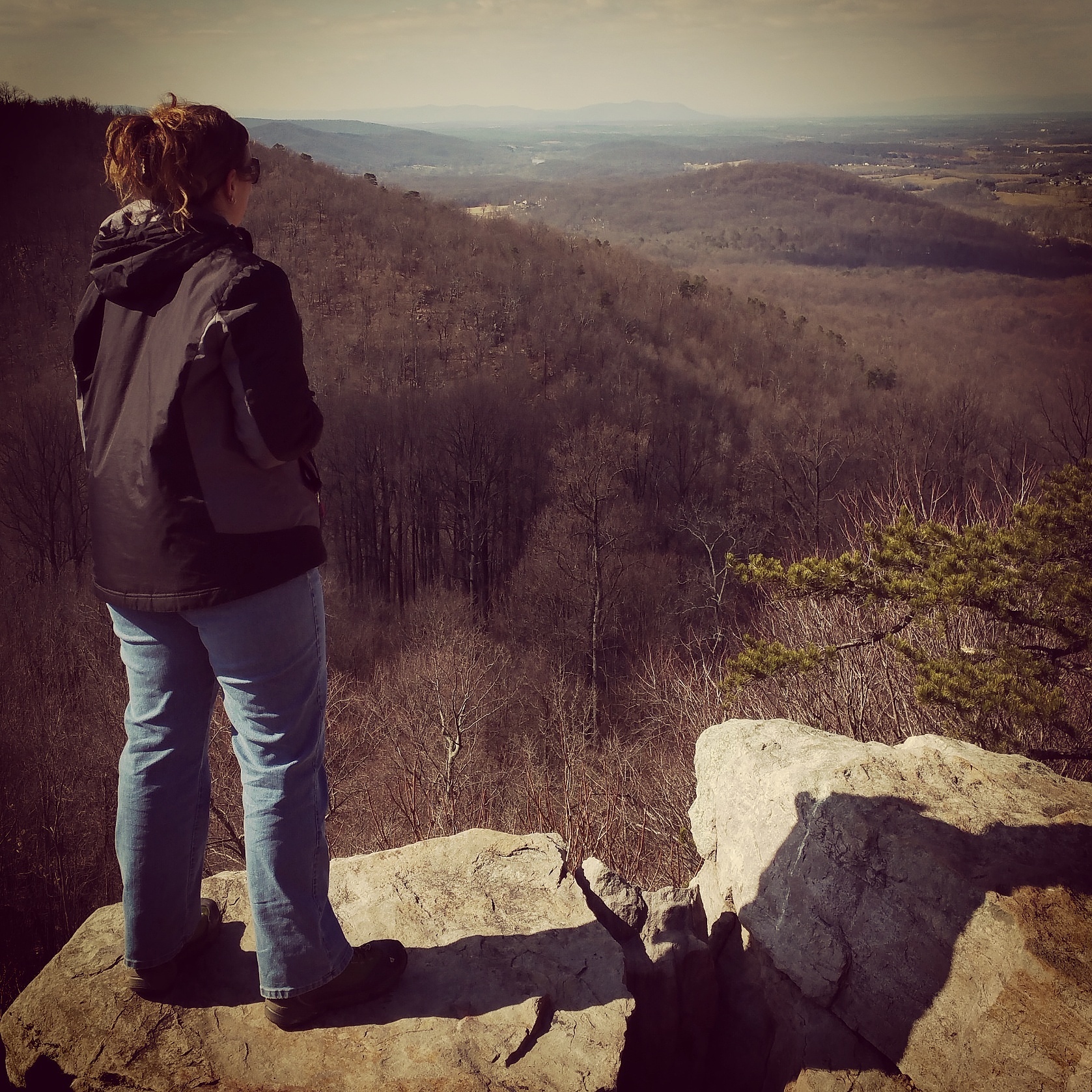
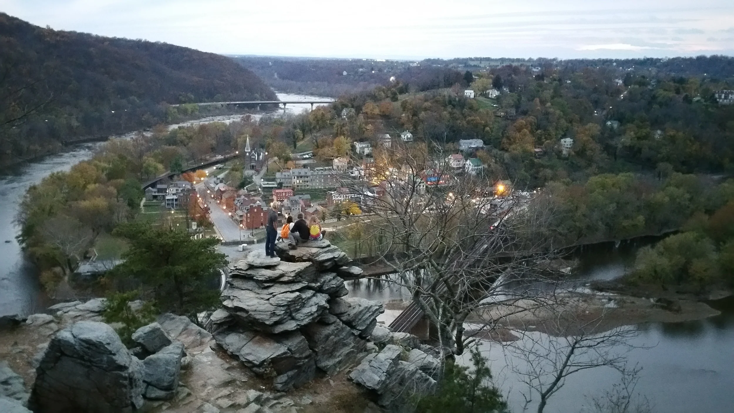
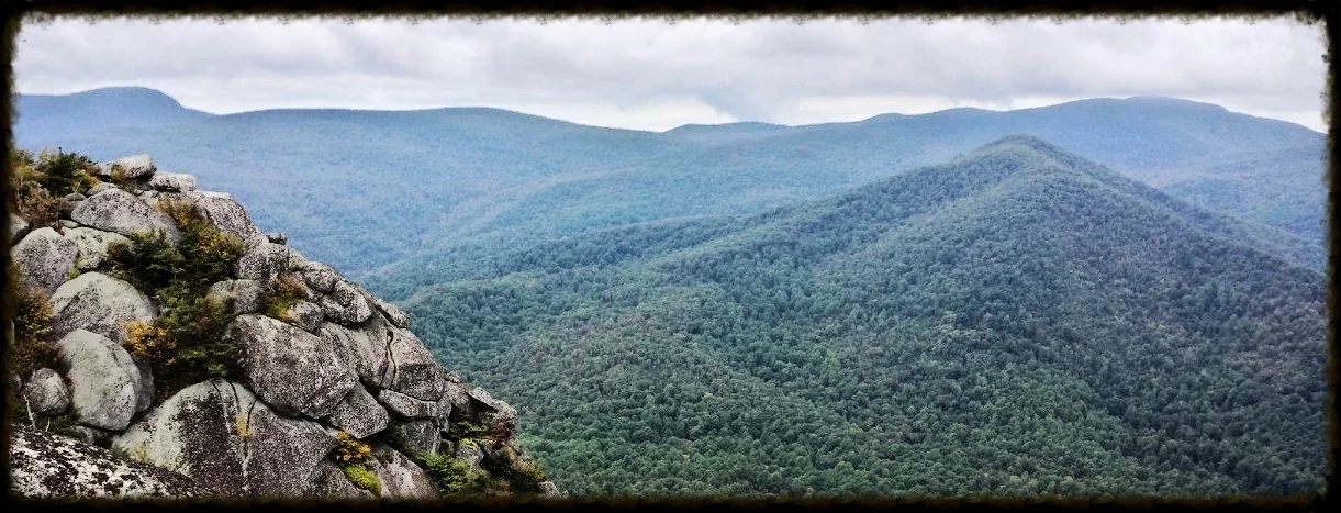
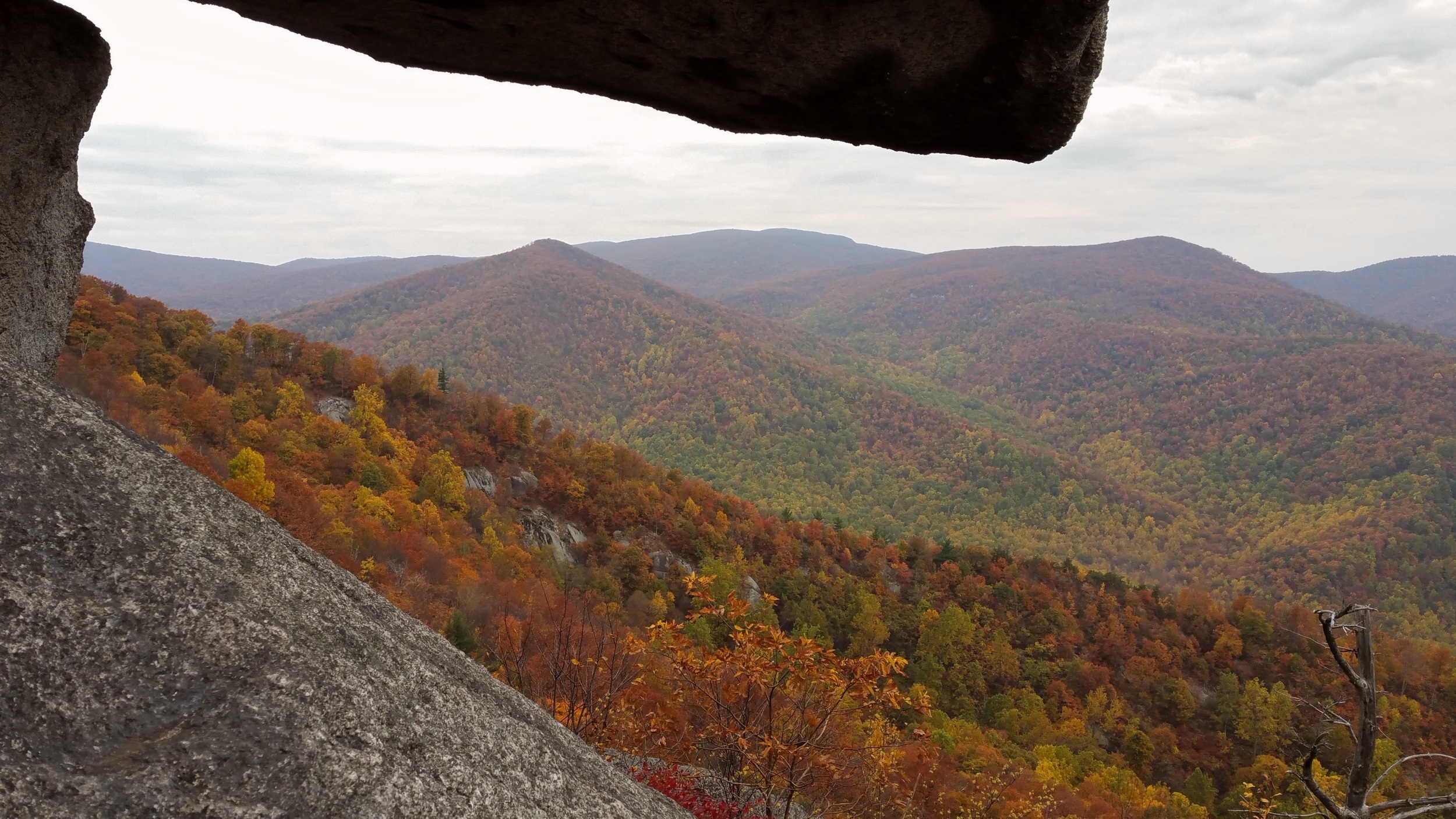
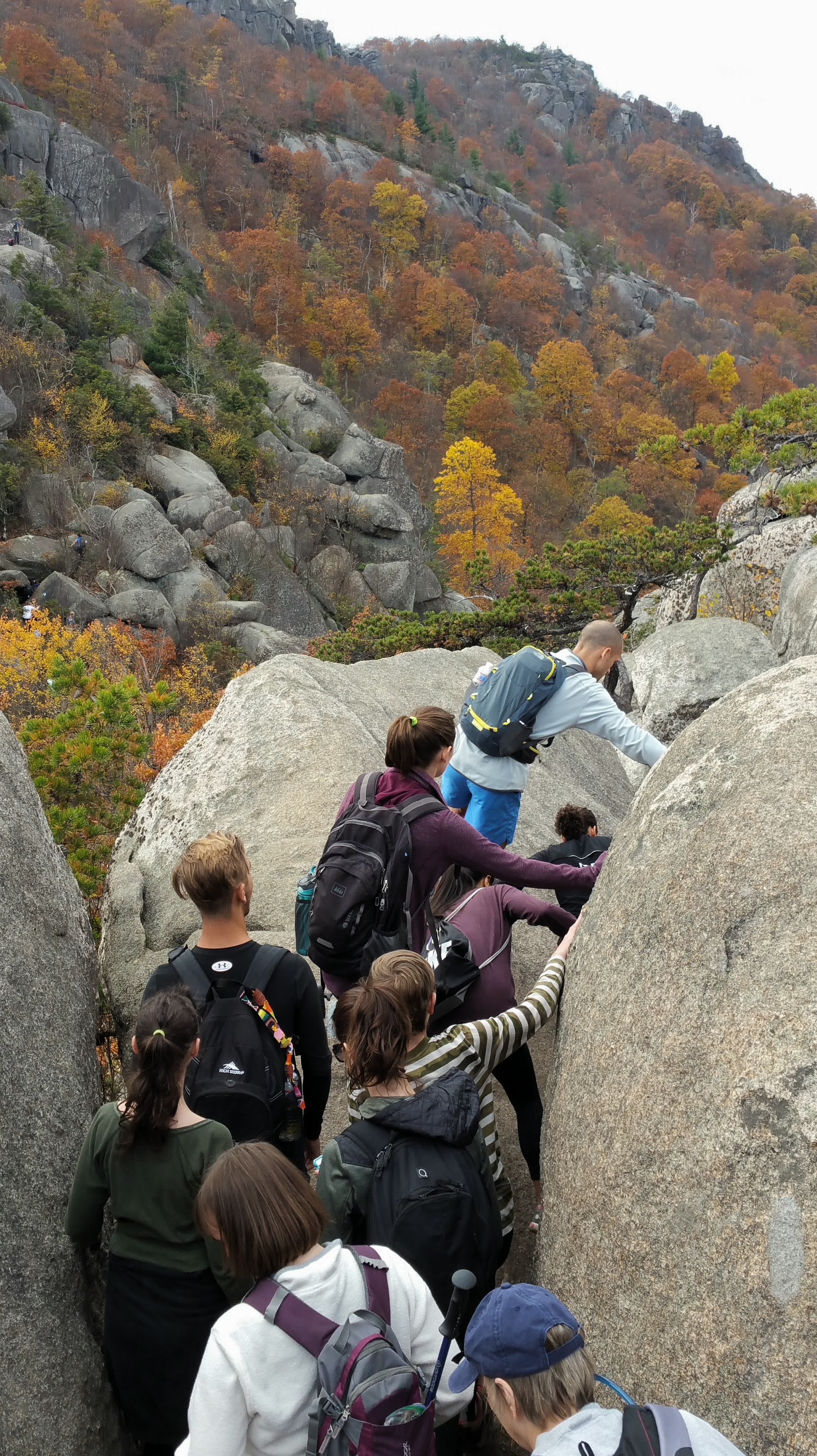
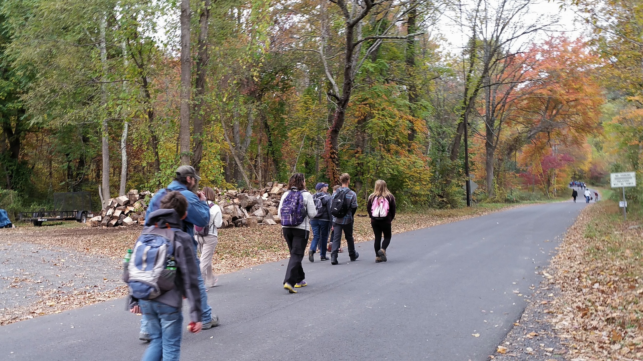
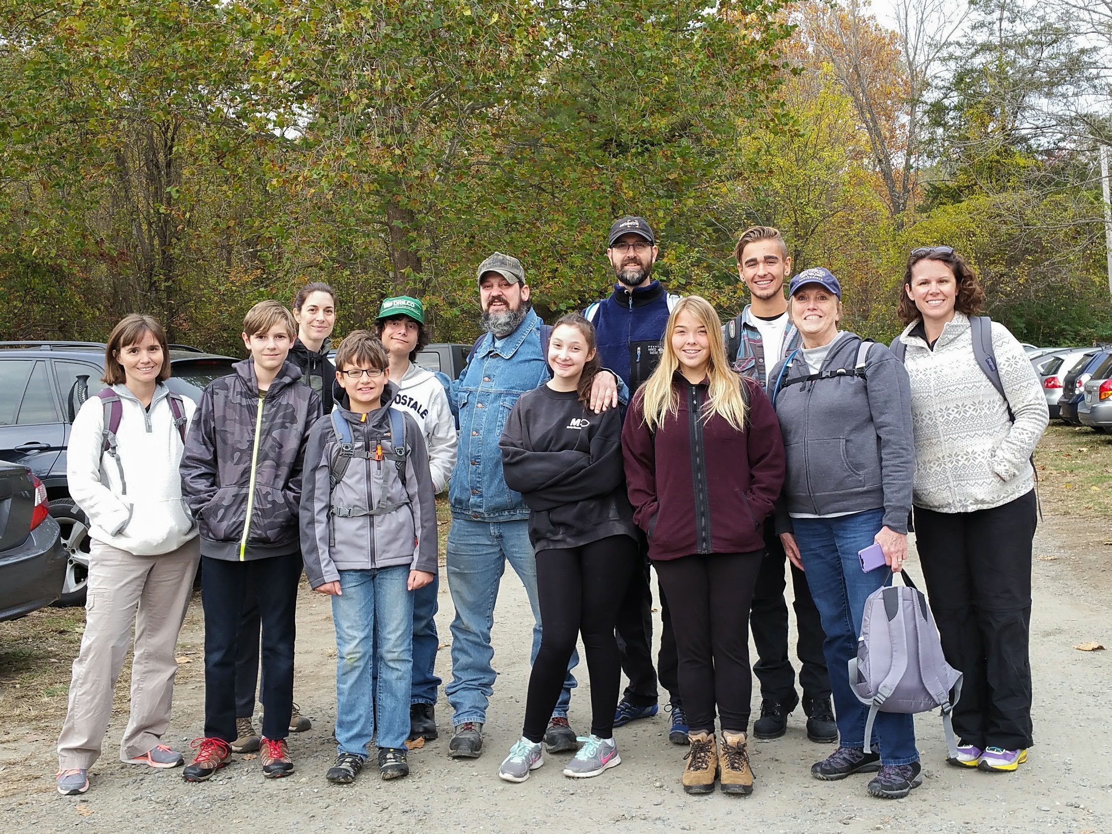
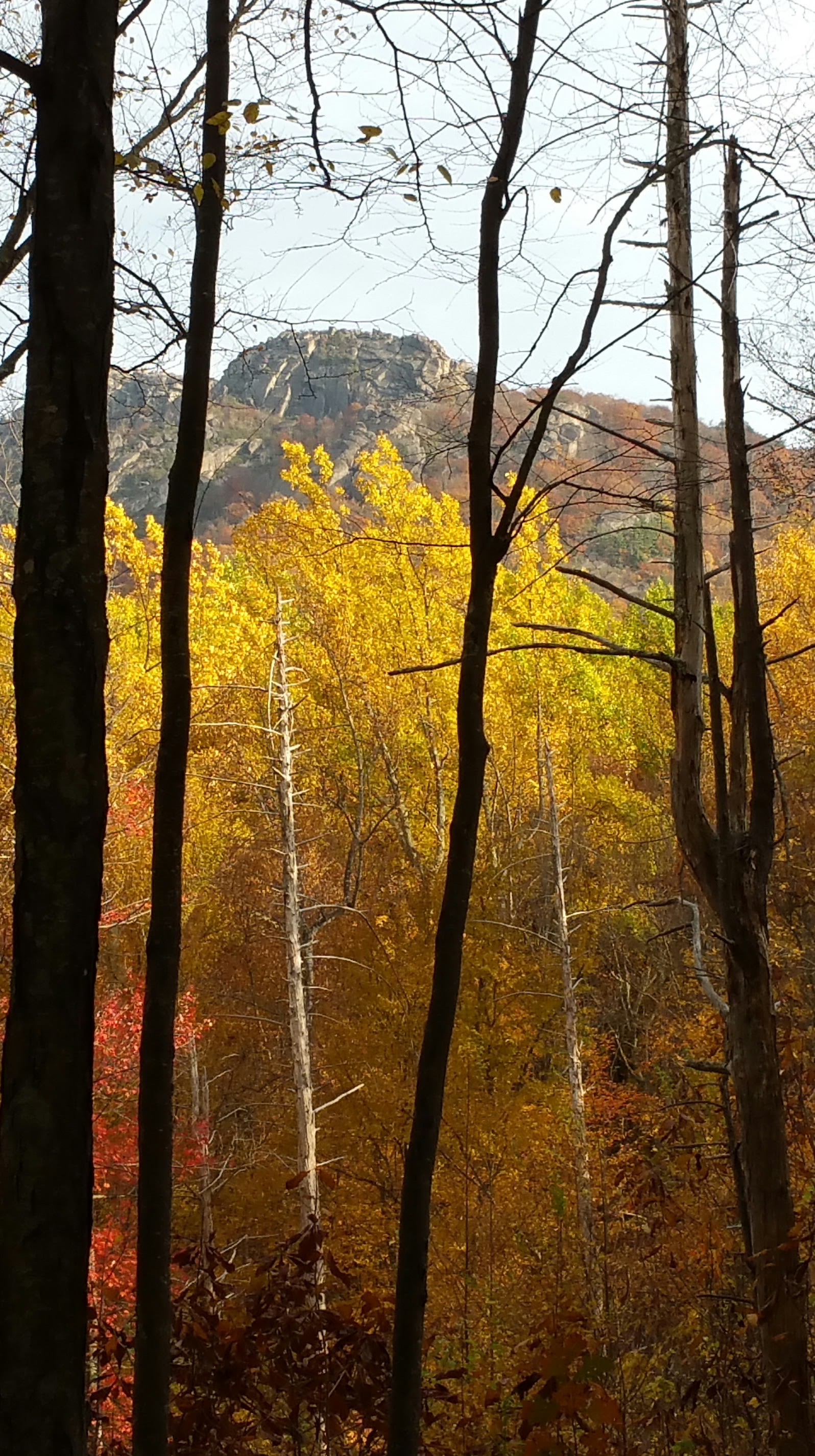
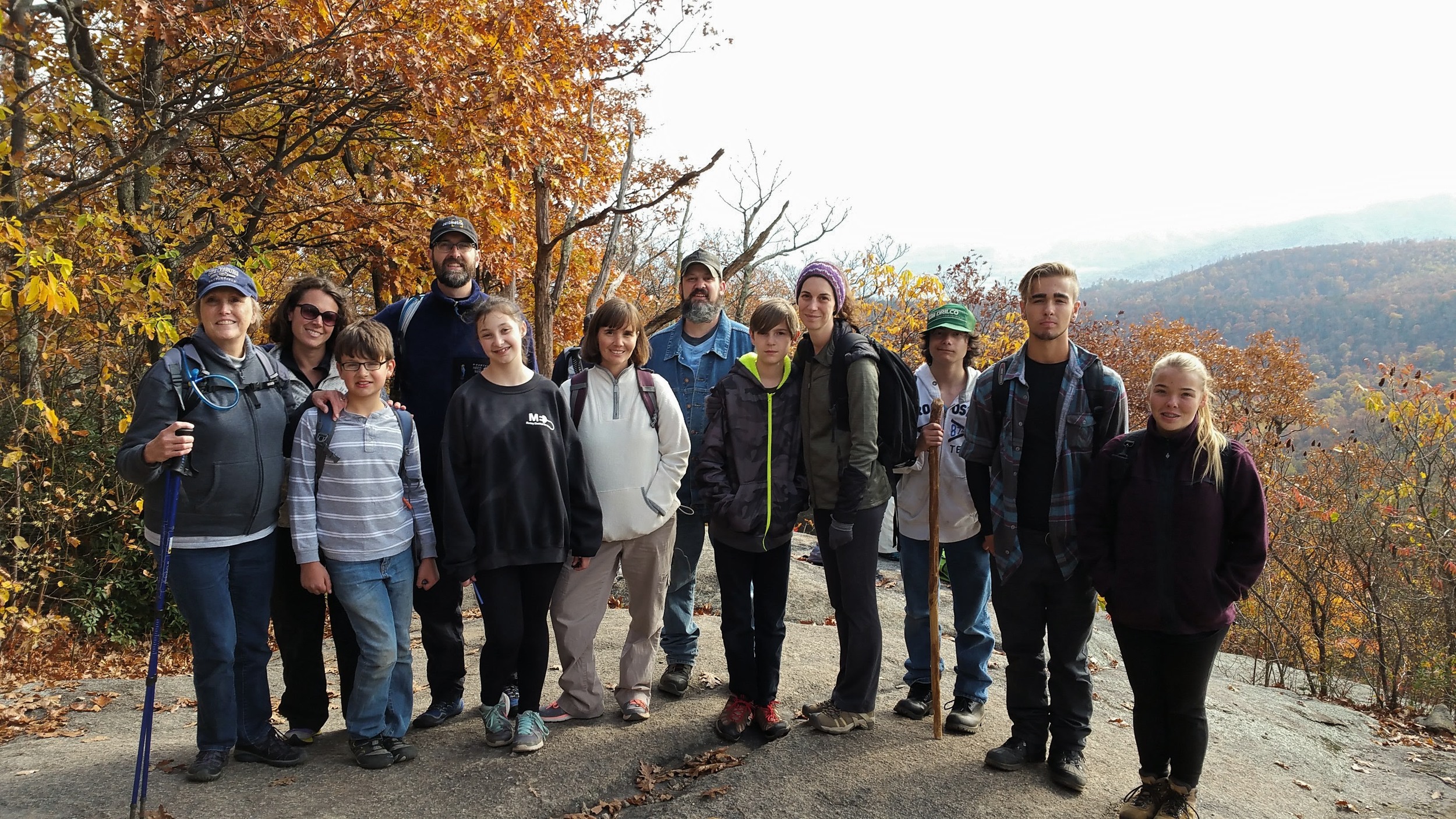
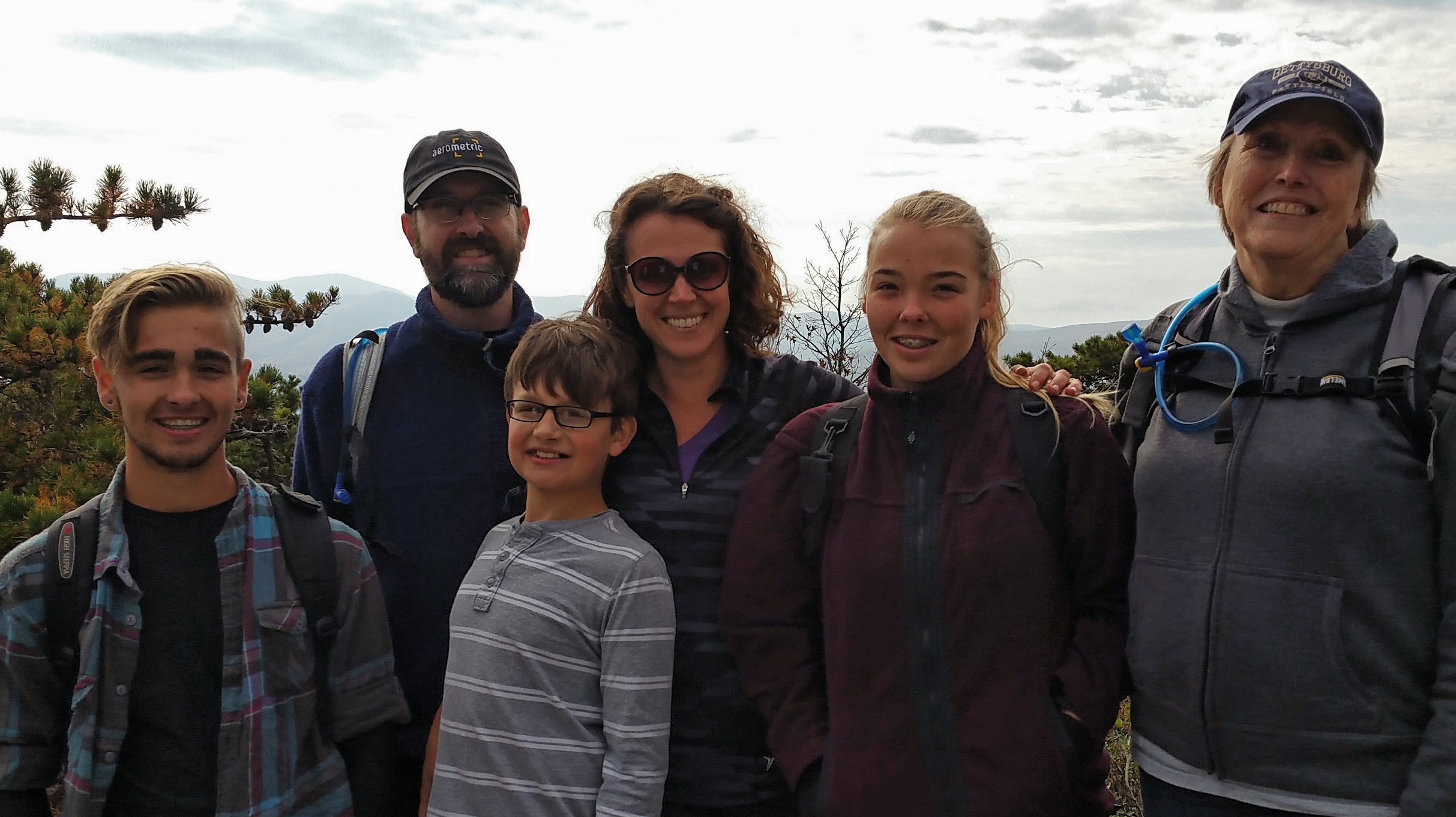
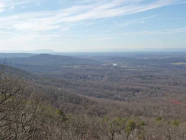
Thank you for your interest in the MOSS Sea Kayaking trip to Glacier Bay, Alaska. Glacier Bay is a completely amazing place! I have been in love with it for nearly twenty years. MOSS is an outdoor community that desires to connect people to the creator through wilderness experiences and self guided periods of solitude.
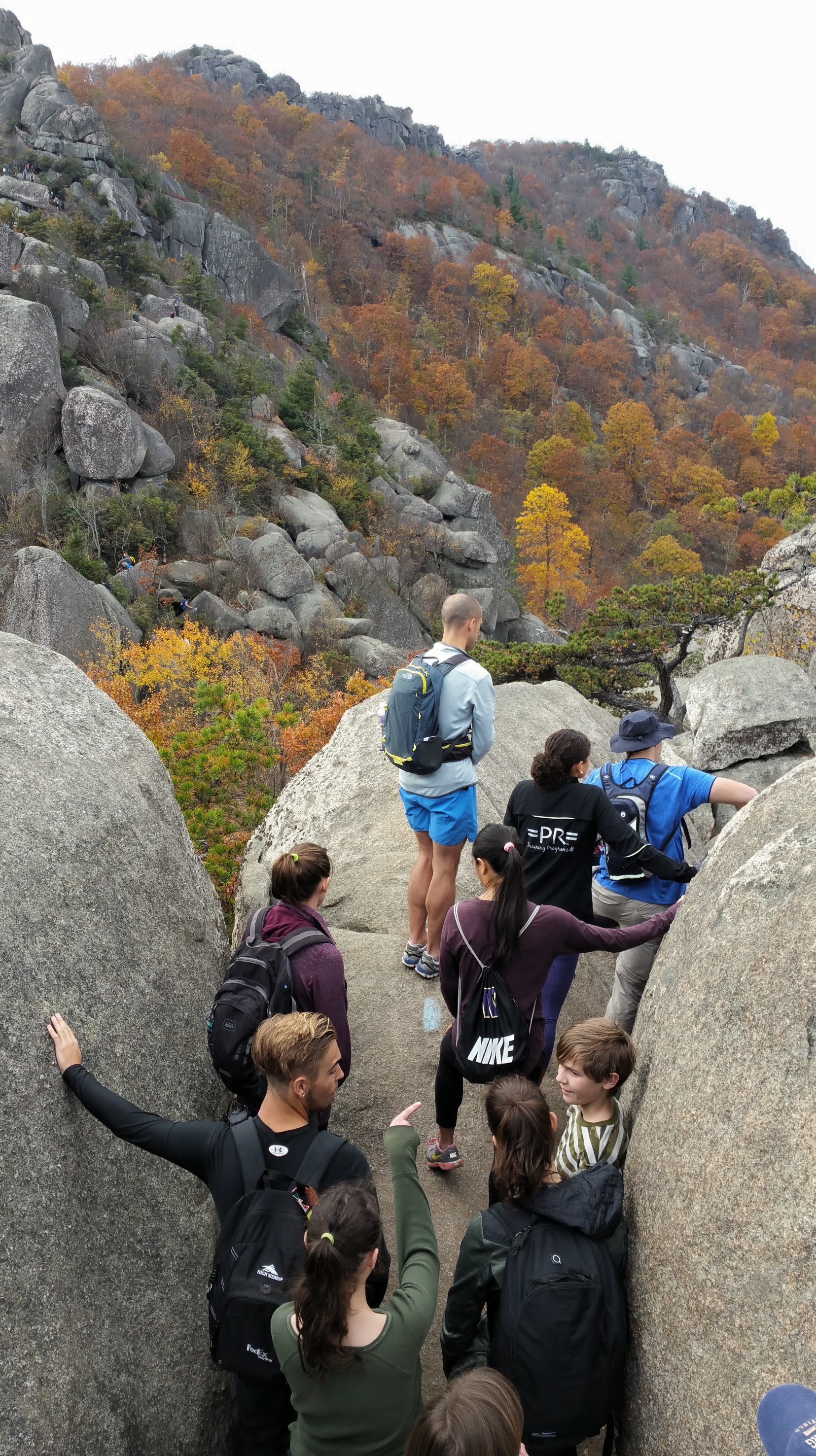
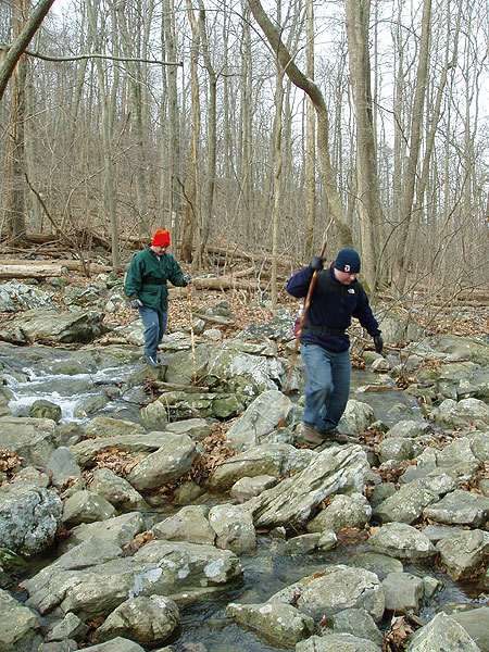
The backcountry of Alaska is indeed is a very challenging place to be and we will be there for nearly a week. It is extremely important that precautions are taken before and during the trip for everyone’s safety. Proper handling of food and other items are vital for protection, both black and brown bears are residents of Glacier Bay. Proper attention to the extreme tides of Glacier Bay are also a must to prevent the loss of kayaks and thus, transportation. Glacier Bay’s weather can include long periods of rain which must be understood. Many other concerns need to be addressed before hand which can be discussed as we prepare.
Group size will depend on kayak availability but cannot be larger than twelve based on National Park Service regulations. At this point other double kayaks are unavailable. There are several single kayaks but be aware that Glacier Bay Sea Kayaks requires that paddlers must be experienced at sea kayaking and able to do self-rescues. Don’t let this stop you if you are still interested, you have several months to prepare yourself and possibly take a class. There is also a possibility that other double kayaks become available. Please contact me if you would like to discuss more.
With all of that said, I am very excited for the interest and looking forward to a fantastic week in Glacier Bay! Let’s continue this conversation before anyone makes a complete commitment and buys airline tickets. Please feel free to call anytime, I always love to talk Alaska!
mossoutdoors.org
facebook.com/mossoutdoors01
Please address any questions to:
mossoutdoors01@gmail.com
or call:
Pete
304-283-4628
Itinerary
July 2 and 3:
• -Arrival into Glacier Bay Lodge at Bartlett Cove from Gustavus, AK (transportation via TLC Taxi (907-697-2239) $15 per person + tip) *possibility of free transport with lodge bus + tip but will not know until we are there.
http://www.visitglacierbay.com
http://www.glacierbaytravel.com/tlctaxi.htm
• Set up camp in Bartlett Cove Campground ¼ mile hike from Glacier Bay Lodge(free). Wheelbarrows available at ranger station to get gear to campground. http://www.nps.gov/glba/planyourvisit/campground.htm
• Backcountry Orientation with National Park Service and Kayak Orientation with Glacier Bay Sea Kayaks at Bartlett Cove Ranger Station. https://www.glacierbayseakayaks.com
• Gear consolidation and preparation for extended backcountry trip.
• Hikes and ranger programs as time allows to learn the park. http://www.nps.gov/glba/index.htm
• ½ hour Withdrawal time (see below for more info)
July 4
• Morning transport to Gustavus for 4th of July activities (transportation via TLC Taxi (907-697-2239) $15 per person each way + tip) *possibility of free transport with lodge bus + tip but will not know until we are there. http://www.gustavus.com
o Activities include small town with fun games like egg toss, slow bike race and toped off with the greased pole contest over the Salmon River.
o Local food is available
o Good opportunity to check out town and get last minute supplies
• Return to Bartlett Cove
• Evening meal and Withdrawal time.
• 5pm meet GBSK to receive our kayaks.
o Single Kayaks ($45 per day + tax) Must be experienced sea kayakers and know re-entry skills in case of capsize. GBSK will not issue kayaks if this requirement is not met.
o Double Kayaks ($60 per day + tax) Little to no availability!! This could change but would be better to prepare by taking a sea kayaking class for single kayak requirements. (Sea kayak experience and self-rescue abilities)
• 1-2 hour paddle of Bartlett Cove
• Last minute gear prep.
• Group time on the deck of Glacier Bay Lodge and/or Warming Hut.
July 5
• Early morning wake up and pack up.
• 6:30am arrive at Baranof Wind (Day-tour Vessel) to load kayaks and gear. http://www.visitglacierbay.com/glacier-bay-tours.aspx
o $230 for round trip transportation to backcountry drop-off which includes day glacier and wildlife tour with a National Park Service guide and lunch.
• 1:30pm(approx.) Drop-Off. High tide is at 2:30pm so we will need to pack kayaks and depart immediately towards Reid Glacier. High tide is at 2:30pm and we want to take advantage of slack tide as much as possible for the 7.5 mile paddle which will take 3-4 hours. http://www.weatherforyou.com/reports/index.php?locid=2710&forecast=tides&zipcode=&pands=&place=&state=&country=us&alt=tides&smon=7&syear=2016
• Eat evening meal
• Withdrawal time
• Set up camp
• Campfire (dependent on wood availability)
July 6
• 630am wake up.
• Quick breakfast.
• Set out on kayaks for Reid glacier (2 miles) and hike a side of glacier towards Brady Ice field (10 difficult miles round-trip if completed)
• Paddle back to camp (2 miles)
• Evening meal
• Withdrawal time (optional)
• Campfire (dependent on wood availability)
July 7
• 730 am wake up.
• Visit Ibach Cabin
• Paddle to Lamblugh Glacier (5.5 miles)
• Set up camp
• Explore
• Evening meal
• Withdrawal time
July 8
• 630 am wake up time
• Day paddle into Johns Hopkins Inlet- distance weather and group dependent. Potential of 20 miles round trip but worth every mile.
• Evening meal
• Withdrawal time
July 9
• 730 am wake up time
• Explore more of Lamplugh glacier
• Paddle to Reid entrance for overnight
• Set up camp
• Evening meal
• Withdrawal time
July 10
• 630 am wake up time
• Paddle to Skidmore Cut for pick up at approx.130pm
• Set up camp
• Showers!
• Evening meal at GBL (http://www.visitglacierbay.com/dining.aspx)
July 11
• 730 am wake up.
• Pack up camp
• Transportation into Gustavus (transportation via TLC Taxi (907-697-2239) $15 per person + tip) *possibility of free transport with lodge bus + tip but will not know until we are there.
• Potential Flight-Seeing tour with Fjord Flying $150 for an hour and half tour of Glacier Bay from skies above. This is an amazing experience, worth every penny if you can afford it. A great way to complete your trip to Alaska. (http://fjordflying.com/flightseeing)
• Lunch and Withdrawal time close out with possible discussion.
• Evening flights back home
WITHDRAWAL?
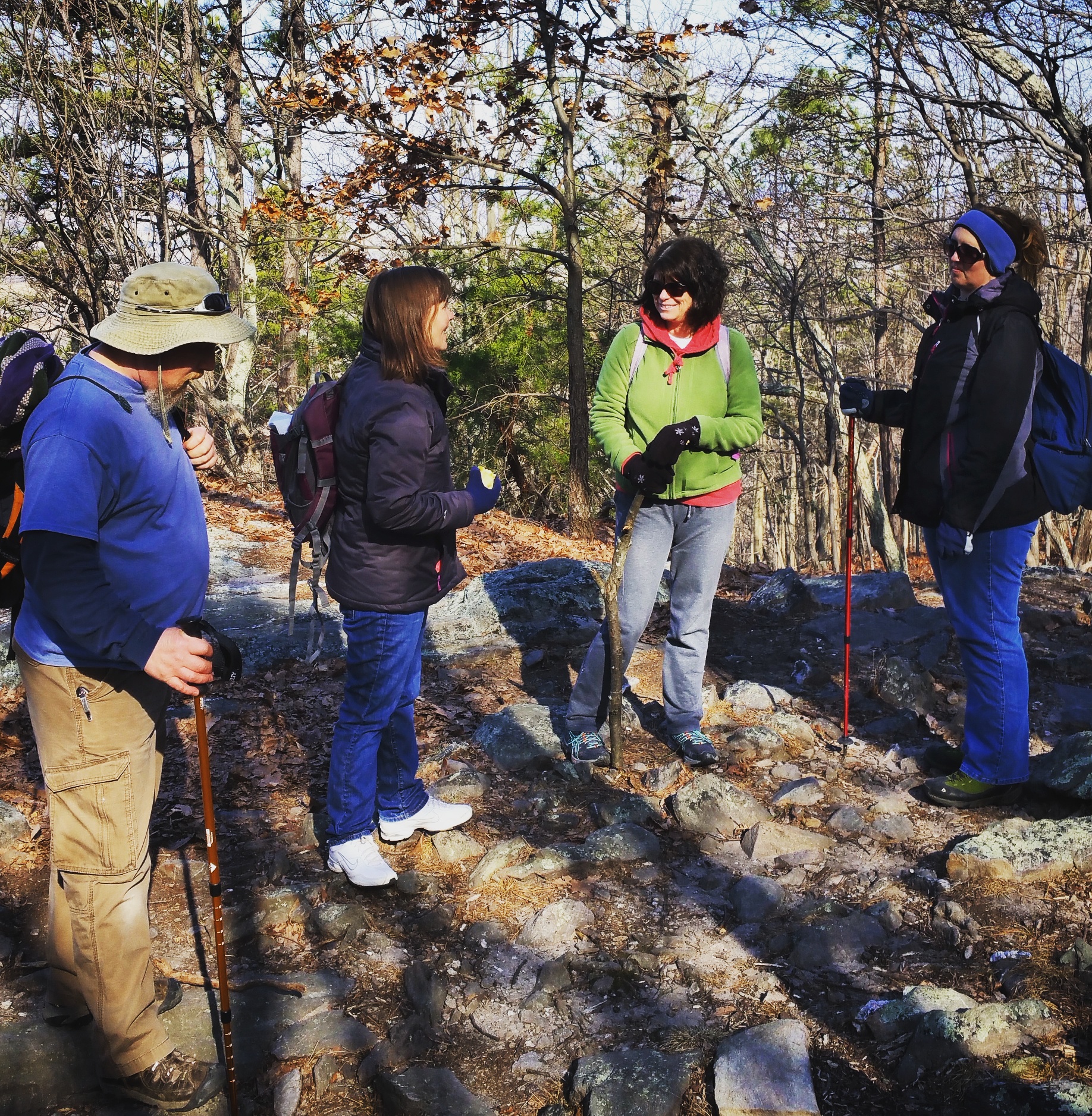
Every MOSS event includes a time of Withdrawal, where we take the opportunity to disconnect from the distractions of life and re-engage with the Creator.
Solitude during Moss trips are experienced through a self-lead time of reflection in the example of Jesus who, "Often withdrew to the wilderness to pray." We will temporarily part company from the rest of our group and find a quiet place to consider the provided readings and prayers. It is recommended that participants bring a journal and pen to write what comes to mind as they experience God through the discipline of solitude and silence in this natural setting. Once this period of time is complete there may be a short discussion for those who wish to participate.
Out of respect to you, the provided readings are optional but would ask that everyone agree to observe the Withdrawal time even just for the benefits of rest.


